100415 IcelandVolcanicErruption Data
From Earth Science Information Partners (ESIP)
*** Do you have science data to share about the Volcano? Create an account and add directly or Tweet to @ESIPAQWG or e-mail emr1 at wustl dot edu ****
Models
Volcanic Ash Advisory Models
- Montreal Volcanic Ash Advisory Models
- [ London Ash Advisory Model]
National Environmental Research Institute Denmark
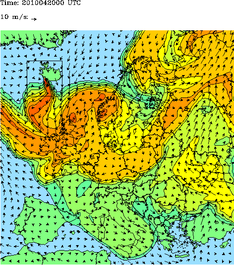
The graphics show the amount of air pollution from ground level until 20 km height on a relative scale, where red is the most polluted. The difference between the colours is a factor 10. NERI has assumed that the volcano has emitted the plume to a height of 5-7 km. Please note that the model works in UTC-time. Central European summertime = UTC + 2 hours.
Rhenish Institute for Environment - Germany
Volcano Dispersion Model animation

ESA Model
- ESA Model for Ash Deposition This animation shows the movement of the ash plume from the eruption of the Eyjafjallajoekull glacier in Iceland.
Satellites
UK Met Office Gallery of Satellite Images
MODIS
- MODIS Gallery
- MODIS Satellite Image - 4/15 - shared by marksteward 'Pic of ash cloud spreading from Iceland north of UK http://bit.ly/ber3Hp #volcano #ashtag #nasa'
EUMETSAT

NEODAAS

ENVISAT

Surface Observations
Airports
UK Met Office
GEMS
Other
- Smog Blog Report on the Volcano
- London Volcanic Ash Aviation Advisories
- Great Interactive piece from The Guardian on Airline Disruption:
