Uploads by Griesfel
From Earth Science Information Partners (ESIP)
This special page shows all uploaded files.
| Date | Name | Thumbnail | Size | Description | Versions |
|---|---|---|---|---|---|
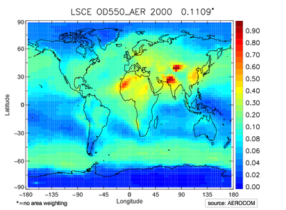
| 08:52, January 8, 2010 | OD550 AER an2000 mALLYEAR WORLD MAP.ps.png (file) |  |
377 KB | Plot of optical depth at 550nm. Example file for a plot of a standard AEROCOM catalogue. | 1 |