060512Report NCDCGlobalWinds
What links here: 060512Report NCDCGlobalWinds
May 12, 2006 Report on WMS Delivery of NCDC Global Winds
This is an update on the OGC-GSN Beijing demo. It covers the delivery of global wind vectors (NCDC) through WCS/WMS.
1. Use of the Global Average Winds. The netCDF file with the global one degree winds has been transferred to the CAPITA server and it is now accessible through both WCS interface.
- WCS
2. Low Wind Speeds Over Land. Inspection of the wind speed contour map shows that the wind speeds over land are always much slower than over the adjacent oceans. This is also the case for high elevation land areas such as the Sierras and Andes. This is somewhat surprising, so it would be good to write down a few sentences on the averaging algorithm and which atmospheric data layer is being used.
3. NCDC WCS Server Status. I have lost track of the status of the NCDC WCS data access services. If we can be of any help we would be glad to do so. In fact, we are currently preparing a page on the ESIP wiki which describes our implementation of a WCS service for grid and point-station data. http://wiki.esipfed.org/index.php/WCS_Service_Implementation_-_DataFed
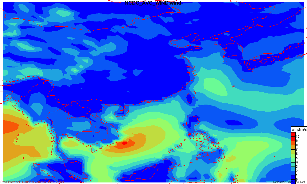
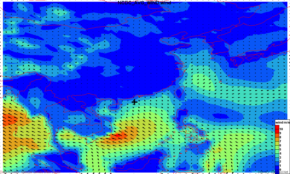
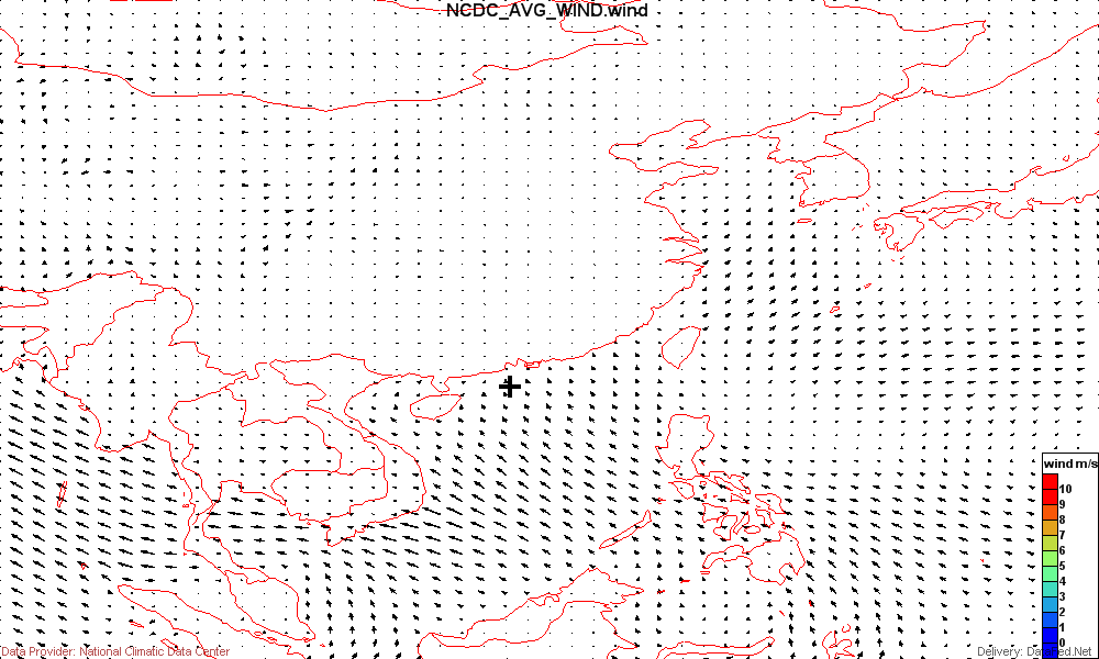
4. WMS Renderings of Global Winds. There are three different versions of the wind data:
1.) Wind Speed Contour
http://webapps.datafed.net/ogc_views_GSN.wsfl?SERVICE=wms&REQUEST=GetMap&VERSION=1.1.1&SRS=EPSG:4326&STYLES=&LAYERS=NCDC_AVG_WIND_Contour_map&BBOX=90.00,0.00,140.00,50.00&TIME=2005-08-01T00:00:00&FORMAT=image/png&EXCEPTIONS=application/vnd.ogc.se_inimage&TRANSPARENT=TRUE&BGCOLOR=0xFFFFFF&WIDTH=1000&HEIGHT=600

3.) Contour and Vectors.
http://webapps.datafed.net/ogc_views_GSN.wsfl?SERVICE=wms&REQUEST=GetMap&VERSION=1.1.1&SRS=EPSG:4326&STYLES=&LAYERS=NCDC_AVG_WIND_ContourVect_map&BBOX=90.00,0.00,140.00,50.00&TIME=2005-08-01T00:00:00&FORMAT=image/png&EXCEPTIONS=application/vnd.ogc.se_inimage&TRANSPARENT=TRUE&BGCOLOR=0xFFFFFF&WIDTH=1000&HEIGHT=600

Notes: We have a great deal of flexiblity in formatting the wind vectors for the WMS images. This includes the vector scales and shapes, contour color scheme, image lables, data provider attribution, etc. Suggestions regarding suitable formating will be appreciated.
Given the short remaining time until the demo, it would be highly desirable to test the WMS vector maps with the particular client(s) that will be used at the Beijing demo.
Rhusar 16:03, 9 May 2006 (EDT)
