Uploads by Am17
From Earth Science Information Partners (ESIP)
This special page shows all uploaded files.
| Date | Name | Thumbnail | Size | Description | Versions |
|---|---|---|---|---|---|
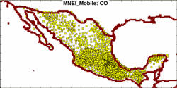
| 12:03, July 18, 2007 | MNEI Mobile map.png (file) |  |
28 KB | 5 | |
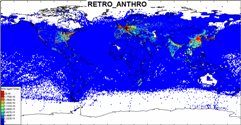
| 12:14, July 18, 2007 | RETRO ANTHRO map.png (file) |  |
39 KB | 1 | |
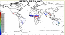
| 12:19, July 18, 2007 | RETRO FIRES WCS map.png (file) |  |
22 KB | 1 | |
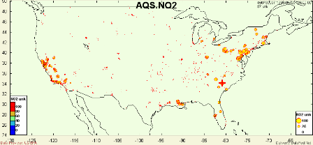
| 13:52, August 20, 2007 | AQS map.png (file) |  |
25 KB | 2 | |
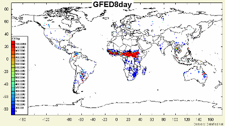
| 11:51, August 21, 2007 | GFED8day map.png (file) |  |
40 KB | 1 | |
| 11:52, August 21, 2007 | GFED WCS map.png (file) |  |
42 KB | 1 | |
| 11:53, August 21, 2007 | GSFC NO2 OL map.png (file) |  |
80 KB | 1 | |
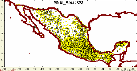
| 11:55, August 21, 2007 | MNEI Area map.png (file) |  |
35 KB | 1 | |
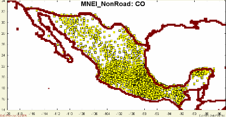
| 11:58, August 21, 2007 | MNEI NonRoad map.png (file) |  |
36 KB | 1 | |
| 12:00, August 21, 2007 | MNEI Point map.png (file) |  |
23 KB | 1 | |
| 13:32, August 22, 2007 | NEI Area map.png (file) |  |
52 KB | 1 | |
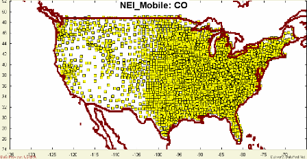
| 13:34, August 22, 2007 | NEI Mobile map.png (file) |  |
52 KB | 1 | |
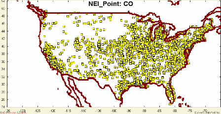
| 13:36, August 22, 2007 | NEI Point map.png (file) |  |
46 KB | 1 | |
| 13:38, August 22, 2007 | OMI AI G OL map.png (file) |  |
77 KB | 1 |