Uploads by Brianwee
From Earth Science Information Partners (ESIP)
This special page shows all uploaded files.
| Date | Name | Thumbnail | Size | Description | Versions |
|---|---|---|---|---|---|
| 08:25, April 22, 2013 | 2013-04-12.ABoVE Use Case for ESC.v1.1.pdf (file) | 155 KB | User story co-authored by Steve Aulenbach, Peter Griffith, Jeff McWhirter, Brian Wee for the NASA Arctic-Boreal Vulnerability Experiment (ABoVE) program. | 1 | |
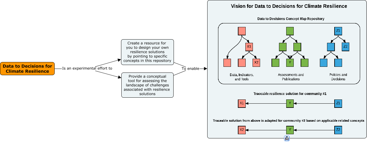
| 08:31, September 29, 2017 | Cluster.DataToDecisions.Purpose.2017-09.png (file) |  |
43 KB | Concept map representation of the purpose of the data to decisions cluster. | 1 |
| 07:17, October 20, 2017 | 2017-09-22 Charter for Data to Decisions for Climate Resilience.docx (file) | 706 KB | Charter for the "Data to decisions for climate resilience" ESIP cluster dated 2017-09-22. | 1 | |
| 12:35, March 4, 2020 | 2020-03-03 IBM PAIRS Presentation Siyuan Lu IBM Watson Research Center.pdf (file) | 5.14 MB | IBM PAIRS - Big Geospatio-temporal Data and Analytics as-a-Service Siyuan Lu, Manager and Principal Research Staff Member IBM T. J. Watson Research Center, Yorktown Heights, NY 10598, USA The rapid growth of geospatial data from satellites, drones, ... | 1 | |
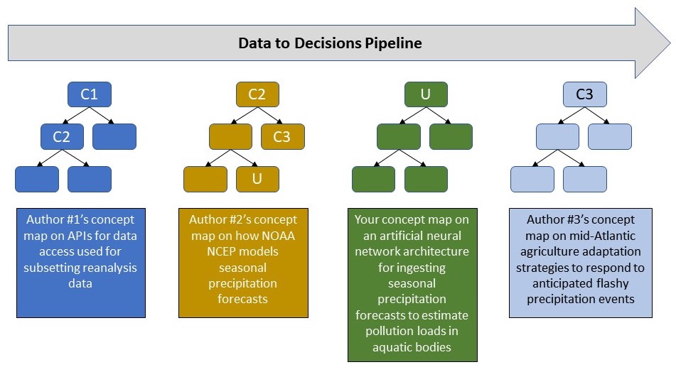
| 07:10, March 28, 2020 | 2020-03-20.Concept map icons for the data-to-decisions demo path wiki page.jpg (file) | 116 KB | 7 | ||
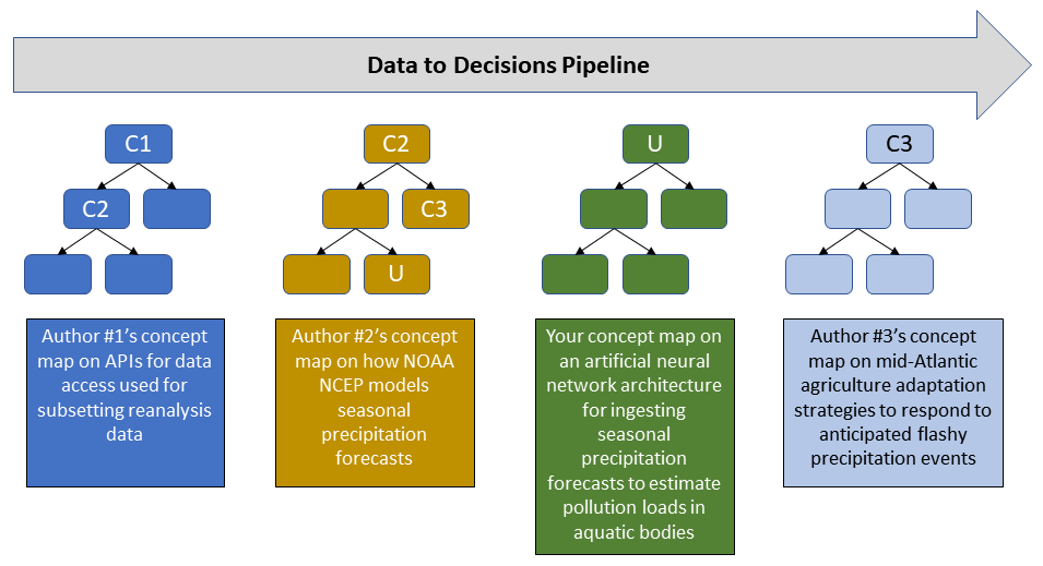
| 07:20, March 28, 2020 | 2020-03-20.Concept map icons for the data-to-decisions demo path wiki page v1.1.png (file) | 43 KB | 1 | ||
| 09:59, March 28, 2020 | 2017 agriculture census value of poultry as a percentage of all ag products sold.png (file) |  |
37 KB | 1 | |
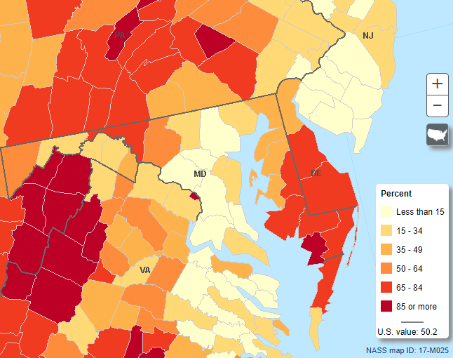
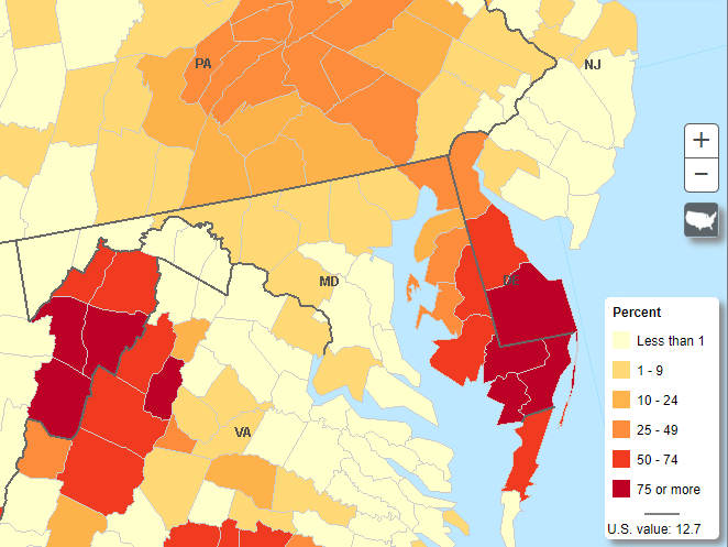
| 10:13, March 28, 2020 | Value of Poultry and Eggs Sold as Percent of Total Market Value of Agricultural Products Sold in 2017.png (file) |  |
38 KB | Value of Poultry and Eggs Sold as Percent of Total Market Value of Agricultural Products Sold in 2017 | 1 |