McIDAS-V Scientific Data Visualization and Analysis Workshop
In this workshop, you will be given a 4 GB flash drive (to keep!) with the McIDAS-V software and some sample data on it. I am limiting enrollment for this workshop to 15 people, if you are interested please sign up below. Two reasons for the limit: 1. So I know how many flash drives to bring, and 2. You can only keep so many people synced up when doing a workshop like this.
This lab is nothing to be afraid of, it will be very basic. I will walk you through simple steps to start the software, load some data, and do some basic 2-D and 3-D visualization and analysis. If you go home and wipe the flash drive clean for a souvenir, fine with me. I will have accomplished my goal of getting you exposed to the McIDAS-V software, you will have kicked the tires.
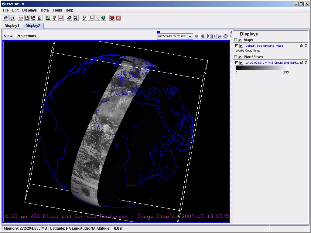
What exactly is McIDAS-V? The "V" stands for 5th generation. It is a free, open-source visualization and data analysis software package for geophysical data, allowing you to manipulate the data in 2, 3, or 4 dimensions. I have included a screen-shot below, and while not required, if you are curious you can read more about it.
To Sign up, send me a note and I'll add you.
--Tommy Jasmin (Tommy.Jasmin) 11:13, 12 May 2009 (EDT)
