Difference between revisions of "0908SoCalFire copy"
(→Data) |
|||
| Line 36: | Line 36: | ||
[[#Event_Info|Event Info]] | [[#What.27s_New|What's New]] | [[#Data|Data]] | [[#Analysis|Analysis]] | [[#Contextual_Info|Contextual Info]] | [[#Participants|Participants]] | [[Talk:0908SoCalFire_copy|Discussion]] | [[#Event_Info|Event Info]] | [[#What.27s_New|What's New]] | [[#Data|Data]] | [[#Analysis|Analysis]] | [[#Contextual_Info|Contextual Info]] | [[#Participants|Participants]] | [[Talk:0908SoCalFire_copy|Discussion]] | ||
| + | {{#ask: [[Category:Datasets]]][[Category:GASmoke]][[Category:Demo]] | ||
| + | | ?DatasetAbbr | ||
| + | | ?Domain | ||
| + | | ?ProviderAbbr | ||
| + | | ?DatasetDesc | ||
| + | | ?DataType | ||
| + | | ?DataAccessURL | ||
| + | | ?SamplePlatform | ||
| + | | ?SampleMethod | ||
| + | | ?DatasetTitle | ||
| + | | ?GoogleEarthURL | ||
| + | | ?WCS | ||
| + | | ?WMS | ||
| + | | format=template | ||
| + | | template=CatalogShortMacro | ||
| + | }} | ||
| − | All of this data can also be viewed in [http://capita.wustl.edu/capita/kmz/0908SoCalFire.kmz Google Earth] | + | |
| + | All of this data can also be viewed in [http://capita.wustl.edu/capita/kmz/0908SoCalFire.kmz Google Earth] | ||
=== Analysis === | === Analysis === | ||
Revision as of 10:11, April 10, 2013
Event Info | What's New | Data | Analysis | Contextual Info | Participants | Discussion

What's New
Event Info | What's New | Data | Analysis | Contextual Info | Participants | Discussion
- 2013-04-10: EventSpace cleaned up
- 2009-08: Station Fire Updates
- 2009-08: Fire Started
Event Info
Event Info | What's New | Data | Analysis | Contextual Info | Participants | Discussion
< Back to Exceptional Event List
0908SoCalFire_copy: 0908 Morris Fire
| Description: The so-called Morris Fire started Tuesday just after 4:30 p.m. along North San Gabriel Canyon Road near Morris Dam and Reservoir.
- There is a wealth of information on the event dispersed over the Web |
Data
Event Info | What's New | Data | Analysis | Contextual Info | Participants | Discussion
 |
AIRNOW: Surface Monitoring Data for PM2.5 and Ozone Domain: Aerosol | DataType: POINT | Platform:Network | Method:FilterSmp |


| GOCART G OL: Global Chemical Transport Model Domain: Aerosol | DataType: GRID | Platform:Model | Method:Model |
 |
NAAPS GLOBAL: NRL Global Aerosol Model Domain: Aerosol | DataType: Image | Platform:Model | Method:Model |
 |
NAAPS NoAm: NRL Global Aerosol Model Domain: Aerosol | DataType: Image | Platform:Model | Method:Model |
 |
OMI AI G: OMI Absorbing Aerosol Index Domain: Aerosol | DataType: GRID | Platform:Satellite | Method:RemoteSens |
| OMI AI G OL: OMI Absorbing Aerosol Index Domain: Aerosol | DataType: GRID | Platform:Satellite | Method:RemoteSens |
 |
SURF MET: Global Surface Meteorology Monitoring Network Domain: Meteor | DataType: POINT | Platform:Network | Method:Point |
 |
SURF MET WIND: Global Surface Meteorology Monitoring Network Domain: Meteor | DataType: POINT | Platform:Network | Method:Point |
The part "]" of the query was not understood.</br>Results might not be as expected.
All of this data can also be viewed in Google Earth
Analysis
Event Info | What's New | Data | Analysis | Contextual Info | Participants | Discussion
Ongoing analysis. May include a working slide deck.
Contextual Info
Event Info | What's New | Data | Analysis | Contextual Info | Participants | Discussion
Videos
Playlist of 0809SoCal Fire Videos
Photos
UCLA Astronomy Webcam:
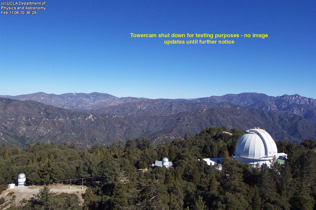
According to the latest blog entry from Dr. McAlister, the Mount Wilson webserver went down. The blog, originally hosted on the Mt.Wilson webserver, is now available here: http://joy.chara.gsu.edu/CHARA/fire.php.

Blogs/Twitter
- LA Times Blog on Morris Fire
- Google Blog Search - Southern California Fire, August 1-Oct. 1, 2009
- Twitter?
Participants
Event Info | What's New | Data | Analysis | Contextual Info | Participants
Interested in following this page? Click the arrow and then click "Watch". To add your name to the contributor list sign with ~~~~. This automatically signs your name and date.
Places that ref ESIP AQ Page