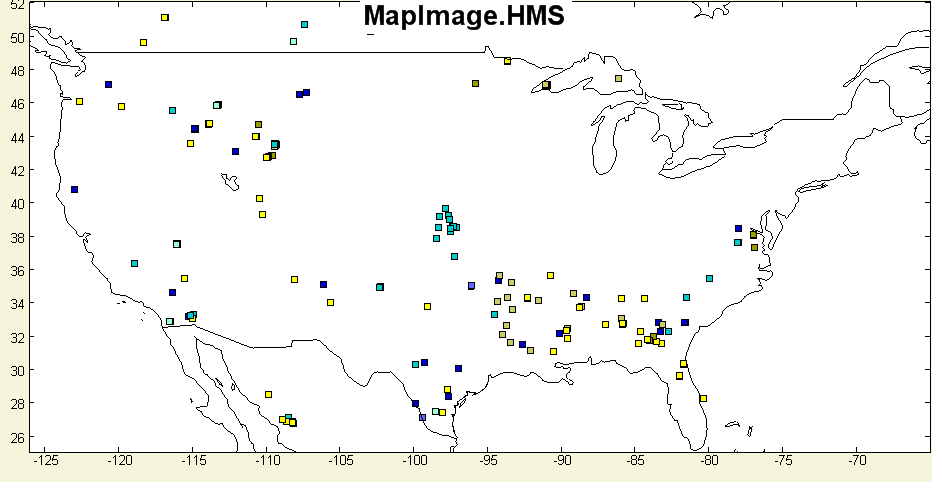
File:GDSG Fire map.png
From Earth Science Information Partners (ESIP)
Revision as of 19:55, January 21, 2008 by mk10@cec.wustl.edu (MarkK) (talk | contribs)
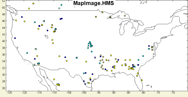
Size of this preview: 800 × 414 pixels. Other resolutions: 320 × 165 pixels | 932 × 482 pixels.
Original file (932 × 482 pixels, file size: 24 KB, MIME type: image/png)
File history
Click on a date/time to view the file as it appeared at that time.
| Date/Time | Thumbnail | Dimensions | User | Comment | |
|---|---|---|---|---|---|
| current | 19:55, January 21, 2008 | | 932 × 482 (24 KB) | mk10@cec.wustl.edu (MarkK) (talk | contribs) |
You cannot overwrite this file.
File usage
The following file is a duplicate of this file (more details):
The following page uses this file: