Difference between revisions of "0908SoCalFire"
| Line 10: | Line 10: | ||
<html> <object width="560" height="340"><param name="movie" value="http://www.youtube.com/v/PTbYkWewA8E&hl=en&fs=1&"></param><param name="allowFullScreen" value="true"></param><param name="allowscriptaccess" value="always"></param><embed src="http://www.youtube.com/v/PTbYkWewA8E&hl=en&fs=1&" type="application/x-shockwave-flash" allowscriptaccess="always" allowfullscreen="true" width="560" height="340"></embed></object></html> | <html> <object width="560" height="340"><param name="movie" value="http://www.youtube.com/v/PTbYkWewA8E&hl=en&fs=1&"></param><param name="allowFullScreen" value="true"></param><param name="allowscriptaccess" value="always"></param><embed src="http://www.youtube.com/v/PTbYkWewA8E&hl=en&fs=1&" type="application/x-shockwave-flash" allowscriptaccess="always" allowfullscreen="true" width="560" height="340"></embed></object></html> | ||
* Fire pixels from Hazard Mapping Service identify the location as seen from satellites of the fires | * Fire pixels from Hazard Mapping Service identify the location as seen from satellites of the fires | ||
| − | + | <html><object width="560" height="340"><param name="movie" value="http://www.youtube.com/v/V5yL1ShbHmI&hl=en&fs=1"></param><param name="allowFullScreen" value="true"></param><param name="allowscriptaccess" value="always"></param><embed src="http://www.youtube.com/v/V5yL1ShbHmI&hl=en&fs=1" type="application/x-shockwave-flash" allowscriptaccess="always" allowfullscreen="true" width="560" height="340"></embed></object></html> | |
* Airnow - Surface monitors indicate the level of PM2.5 on the surface [http://capita.wustl.edu/capita/kmz/AIRNOW.pmfine_2008-05-18T07_00_00_-_2009-08-26T06_00_00-20090901.kmz See KML] | * Airnow - Surface monitors indicate the level of PM2.5 on the surface [http://capita.wustl.edu/capita/kmz/AIRNOW.pmfine_2008-05-18T07_00_00_-_2009-08-26T06_00_00-20090901.kmz See KML] | ||
<html><object width="560" height="340"><param name="movie" value="http://www.youtube.com/v/ijs4_ewsGb0&hl=en&fs=1&"></param><param name="allowFullScreen" value="true"></param><param name="allowscriptaccess" value="always"></param><embed src="http://www.youtube.com/v/ijs4_ewsGb0&hl=en&fs=1&" type="application/x-shockwave-flash" allowscriptaccess="always" allowfullscreen="true" width="560" height="340"></embed></object></html> | <html><object width="560" height="340"><param name="movie" value="http://www.youtube.com/v/ijs4_ewsGb0&hl=en&fs=1&"></param><param name="allowFullScreen" value="true"></param><param name="allowscriptaccess" value="always"></param><embed src="http://www.youtube.com/v/ijs4_ewsGb0&hl=en&fs=1&" type="application/x-shockwave-flash" allowscriptaccess="always" allowfullscreen="true" width="560" height="340"></embed></object></html> | ||
Revision as of 16:06, September 2, 2009
<< Back to Twitter FUNding Friday Project
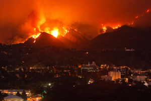
Recent Air Quality Data
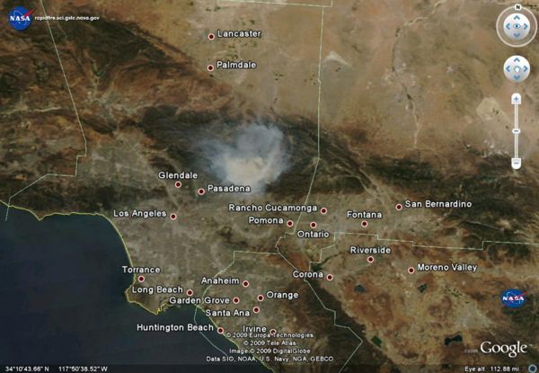
- [MODIS Aqua and Terra Satellites give a true color image 2x a day See KML
- Fire pixels from Hazard Mapping Service identify the location as seen from satellites of the fires
- Airnow - Surface monitors indicate the level of PM2.5 on the surface See KML
- NRL NAAPS Smoke Model See KML
All of this data can also be viewed in Google Earth
So Cal Fire News
<feed url="http://news.google.com/news?um=1&ned=us&hl=en&q=so+cal+fires&as_qdr=d&as_drrb=q&output=rss" entries=5>
- [{PERMALINK} {TITLE}] {DATE}, by {AUTHOR}
</feed>
Twitter feed for SoCal Fire
<feed url="http://search.twitter.com/search.atom?q=SoCal%20Fire" entries=4>
- [{PERMALINK} {TITLE}] {DATE}, by {AUTHOR}
</feed>
Videos
YouTube
To add to this list bookmark On delicious with tags (#MorrisFire and video) - All recent videos from
<feed url="http://feeds.delicious.com/v2/rss/erinmr/video+%23morrisfire?count=15" entries=10>
- [{PERMALINK} {TITLE}] {DATE}, by {AUTHOR}
</feed>
Vimeo
Station Fire, La Canada, CA. August 28, 2009 from Keith Skelton on Vimeo.
Photos
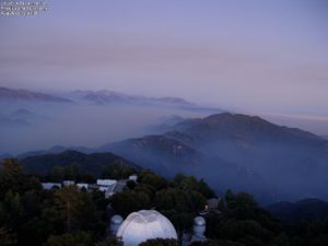
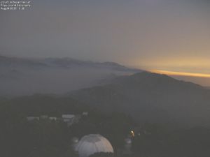
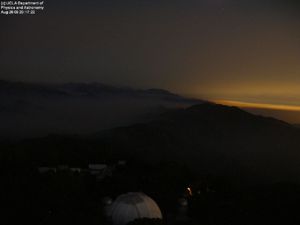
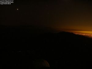
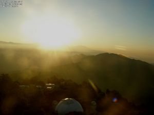
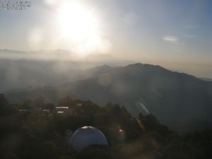
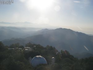
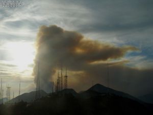
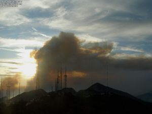
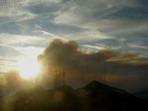
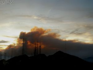
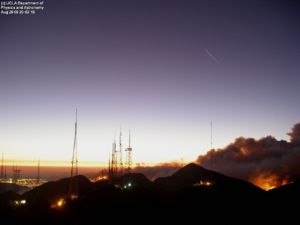
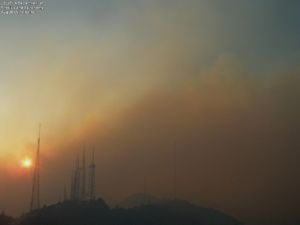
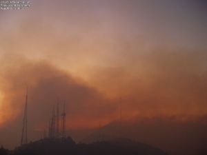
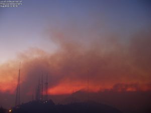
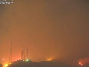
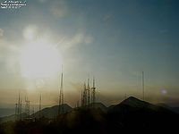
UCLA TowerCam photos - 2009-09-01 back to 2009-08-26
UCLA Astronomy Webcam:
According to the latest blog entry from Dr. McAlister, the Mount Wilson webserver went down. The blog, originally hosted on the Mt.Wilson webserver, is now available here: http://joy.chara.gsu.edu/CHARA/fire.php.

- Twilight pics: 2009-08-26 (8-8:30pm PST)
- Early morning pics: 2009-08-27 (4:30, 6:30 am PST)
- Twilight 2009-08-27 - 7pm, 7:30
- Twilight 2009-08-28 (6:30, 6:50, 6:55, 7:19pm)
- Twilight 2009-08-29 (7:19, 8:04pm)
- Twilight 2008-08-30 (7pm, 7:30pm)

Flickr Photos - Southern California Fire (recent)
Twitpics
Facebook Pics
- Steve Chemtob - taken from the 9th floor of Caltech's Milliken Library, 8/30, ~2 PM.
Blogs
Google Blog Search for Morris Fire <feed url="http://news.google.com/news?ned=us&hl=en&ncl=djFMfdx2B3-VRwMFxHS3grXpM9rVM&rfilter=2&output=rss" entries=10>
- [{PERMALINK} {TITLE}] {DATE}, by {AUTHOR}
</feed>
Technorati Feed
Morris Fire
<feed url="http://feeds.technorati.com/search/Morris+Fire?language=n" entries=4>
- [{PERMALINK} {TITLE}] {DATE}, by {AUTHOR}
</feed>
Angeles National Forest
<feed url="http://feeds.technorati.com/tag/angeles-national-forest" entries=4>
- [{PERMALINK} {TITLE}] {DATE}, by {AUTHOR}
</feed>
AQ Alerts
<feed url="http://feeds.delicious.com/v2/rss/tag/%23morrisfire+Alert?count=15" entries=10>
- [{PERMALINK} {TITLE}] {DATE}, by {AUTHOR}
</feed>
AQ Data
- MODIS AQUA image of S. Cal. 2009-08-26
- AQI of S. Ca from AQMD - Thanks @ktyler
- Airnow PM2.5 for Glendora - Laurel Station
- Modis4 AOT
- NOAA HMS Fire Pixels
< Back to Exceptional Event List
0908SoCalFire: 0908 Morris Fire
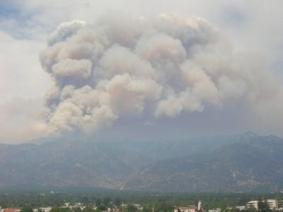
| Description: The so-called Morris Fire started Tuesday just after 4:30 p.m. along North San Gabriel Canyon Road near Morris Dam and Reservoir.
- There is a wealth of information on the event dispersed over the Web |
Places that ref ESIP AQ Page
