Difference between revisions of "0908SoCalFire"
| Line 1: | Line 1: | ||
[[Twitter FUNding Friday Project|<< Back to Twitter FUNding Friday Project]]<br> | [[Twitter FUNding Friday Project|<< Back to Twitter FUNding Friday Project]]<br> | ||
| − | |||
| + | <big><center>'''Interested in the August 2009 Southern Fire California Smoke Event? Please join us in harvesting web resources! To edit create an account in the upper right corner and then click the edit tab and add link.'''</center></big> | ||
| + | |||
| + | <center>Ideas, comments, questions? Contact [[user:erinmr|Erinmr]]</center> | ||
| + | |||
| + | Recent Air Quality Data | ||
| + | |||
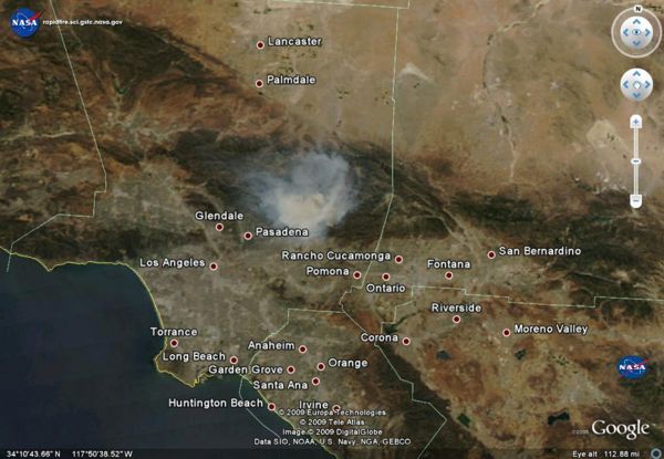
| + | * Fire pixels from Hazard Mapping Service identify the location as seen from satellites of the fires | ||
| + | |||
| + | * NRL NAAPS Smoke Model | ||
| + | |||
| + | * Airnow - Surface monitors indicate the level of PM2.5 on the surface | ||
| + | |||
| + | * MODIS Aqua and Terra Satellites give a true color image 2x a day | ||
| + | |||
| + | All of this data can also be viewed in [http://capita.wustl.edu/capita/kmz/0908SoCalFire.kmz Google Earth] | ||
| − | |||
| − | |||
Revision as of 12:25, September 2, 2009
<< Back to Twitter FUNding Friday Project
Recent Air Quality Data
- Fire pixels from Hazard Mapping Service identify the location as seen from satellites of the fires
- NRL NAAPS Smoke Model
- Airnow - Surface monitors indicate the level of PM2.5 on the surface
- MODIS Aqua and Terra Satellites give a true color image 2x a day
All of this data can also be viewed in Google Earth
So Cal Fire News
<feed url="http://news.google.com/news?um=1&ned=us&hl=en&q=so+cal+fires&as_qdr=d&as_drrb=q&output=rss" entries=5>
- [{PERMALINK} {TITLE}] {DATE}, by {AUTHOR}
</feed>
Twitter feed for SoCal Fire
<feed url="http://search.twitter.com/search.atom?q=SoCal%20Fire" entries=4>
- [{PERMALINK} {TITLE}] {DATE}, by {AUTHOR}
</feed>
Videos
YouTube
To add to this list bookmark On delicious with tags (#MorrisFire and video) - All recent videos from
<feed url="http://feeds.delicious.com/v2/rss/erinmr/video+%23morrisfire?count=15" entries=10>
- [{PERMALINK} {TITLE}] {DATE}, by {AUTHOR}
</feed>
Vimeo
Station Fire, La Canada, CA. August 28, 2009 from Keith Skelton on Vimeo.
Photos
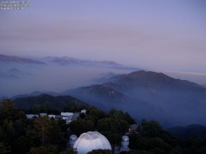
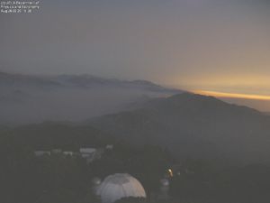
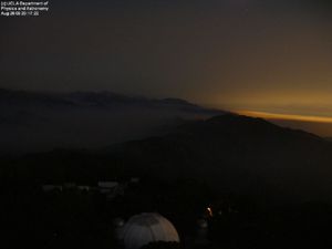
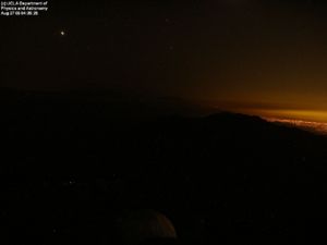
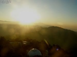
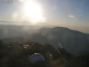
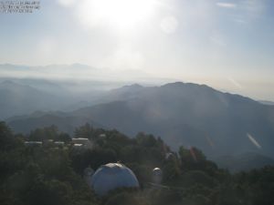
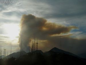
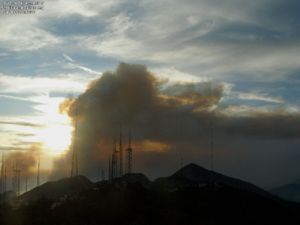
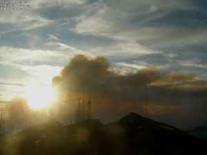
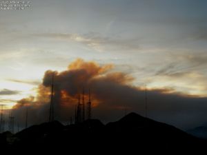
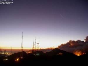
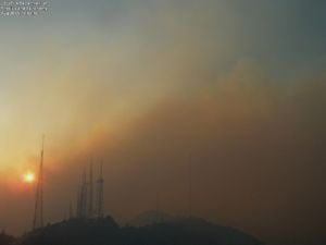
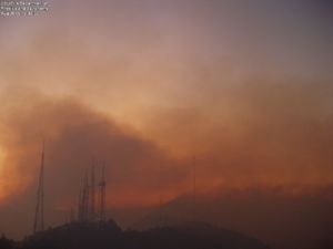
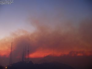
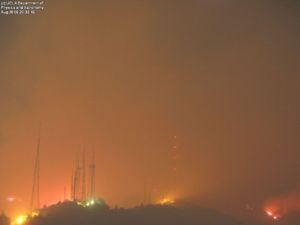
UCLA TowerCam photos - 2009-09-01 back to 2009-08-26
UCLA Astronomy Webcam:
According to the latest blog entry from Dr. McAlister, the Mount Wilson webserver went down. The blog, originally hosted on the Mt.Wilson webserver, is now available here: http://joy.chara.gsu.edu/CHARA/fire.php.

- Twilight pics: 2009-08-26 (8-8:30pm PST)
- Early morning pics: 2009-08-27 (4:30, 6:30 am PST)
- Twilight 2009-08-27 - 7pm, 7:30
- Twilight 2009-08-28 (6:30, 6:50, 6:55, 7:19pm)
- Twilight 2009-08-29 (7:19, 8:04pm)
- Twilight 2008-08-30 (7pm, 7:30pm)

Flickr Photos - Southern California Fire (recent)
Twitpics
Facebook Pics
- Steve Chemtob - taken from the 9th floor of Caltech's Milliken Library, 8/30, ~2 PM.
Blogs
Google Blog Search for Morris Fire <feed url="http://news.google.com/news?ned=us&hl=en&ncl=djFMfdx2B3-VRwMFxHS3grXpM9rVM&rfilter=2&output=rss" entries=10>
- [{PERMALINK} {TITLE}] {DATE}, by {AUTHOR}
</feed>
Technorati Feed
Morris Fire
<feed url="http://feeds.technorati.com/search/Morris+Fire?language=n" entries=4>
- [{PERMALINK} {TITLE}] {DATE}, by {AUTHOR}
</feed>
Angeles National Forest
<feed url="http://feeds.technorati.com/tag/angeles-national-forest" entries=4>
- [{PERMALINK} {TITLE}] {DATE}, by {AUTHOR}
</feed>
AQ Alerts
<feed url="http://feeds.delicious.com/v2/rss/tag/%23morrisfire+Alert?count=15" entries=10>
- [{PERMALINK} {TITLE}] {DATE}, by {AUTHOR}
</feed>
AQ Data
- MODIS AQUA image of S. Cal. 2009-08-26
- AQI of S. Ca from AQMD - Thanks @ktyler
- Airnow PM2.5 for Glendora - Laurel Station
- Modis4 AOT
- NOAA HMS Fire Pixels
< Back to Exceptional Event List
0908SoCalFire: 0908 Morris Fire
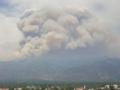
| Description: The so-called Morris Fire started Tuesday just after 4:30 p.m. along North San Gabriel Canyon Road near Morris Dam and Reservoir.
- There is a wealth of information on the event dispersed over the Web |
Places that ref ESIP AQ Page
