Difference between revisions of "100415 IcelandVolcanicErruption Data"
From Earth Science Information Partners (ESIP)
| Line 23: | Line 23: | ||
* [http://www.heathrowairwatch.org.uk/air_quality_summary.php?action=graphs&t=plot&tab=2&f_site_id=T54 Heathrow Airport Surface Monitoring Data] | * [http://www.heathrowairwatch.org.uk/air_quality_summary.php?action=graphs&t=plot&tab=2&f_site_id=T54 Heathrow Airport Surface Monitoring Data] | ||
| + | ===UK Met Office === | ||
| + | * [http://www.metoffice.gov.uk/corporate/pressoffice/2010/volcano/updates.html Icelandic volcano: Dust observations timeline] | ||
== Other == | == Other == | ||
Revision as of 11:59, April 18, 2010
*** Do you have science data to share about the Volcano? Create an account and add directly or Tweet to @ESIPAQWG or e-mail emr1 at wustl dot edu ****
Models
Volcanic Ash Advisory Models
- Montreal Volcanic Ash Advisory Models
- [ London Ash Advisory Model]
National Environmental Research Institute Denmark
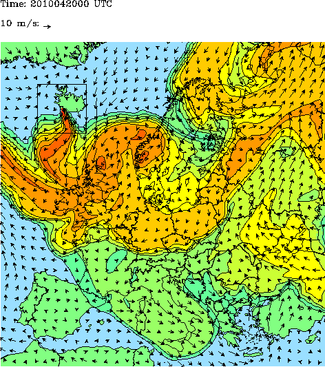
The graphics show the amount of air pollution from ground level until 20 km height on a relative scale, where red is the most polluted. The difference between the colours is a factor 10. NERI has assumed that the volcano has emitted the plume to a height of 5-7 km. Please note that the model works in UTC-time. Central European summertime = UTC + 2 hours.
Satellites
- MODIS Satellite Image - 4/15 - shared by marksteward 'Pic of ash cloud spreading from Iceland north of UK http://bit.ly/ber3Hp #volcano #ashtag #nasa'
- From EUMETSAT: Time Series Satellite Image of Plume moving
- Twitpic Courtesy of NEODAAS/University of Dundee

Surface Observations
UK Met Office
Other
- Smog Blog Report on the Volcano
- London Volcanic Ash Aviation Advisories
- Great Interactive piece from The Guardian on Airline Disruption:
