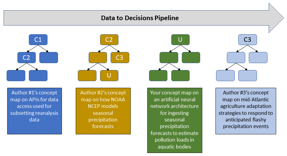
File:2020-03-20.Concept map icons for the data-to-decisions demo path wiki page v1.1.png
From Earth Science Information Partners (ESIP)
Size of this preview: 800 × 435 pixels. Other resolutions: 320 × 174 pixels | 955 × 519 pixels.
Original file (955 × 519 pixels, file size: 43 KB, MIME type: image/png)
File history
Click on a date/time to view the file as it appeared at that time.
| Date/Time | Thumbnail | Dimensions | User | Comment | |
|---|---|---|---|---|---|
| current | 07:20, March 28, 2020 | 955 × 519 (43 KB) | Brianwee (talk | contribs) |
You cannot overwrite this file.
File usage
The following 3 pages use this file:
- Community concept mapping activity March 2020 through July 2020
- Mitigating anticipated impacts of increased nutrient runoff from flashy precipitation from poultry agriculture in the Chesapeake watershed
- Mitigating the anticipated impacts of increased nutrient runoff from flashy precipitation from poultry agriculture in the Chesapeake watershed.