File:Beaufort sea-110818-icechart.png
From Earth Science Information Partners (ESIP)
Size of this preview: 725 × 600 pixels. Other resolutions: 290 × 240 pixels | 1,239 × 1,025 pixels.
Original file (1,239 × 1,025 pixels, file size: 262 KB, MIME type: image/png)
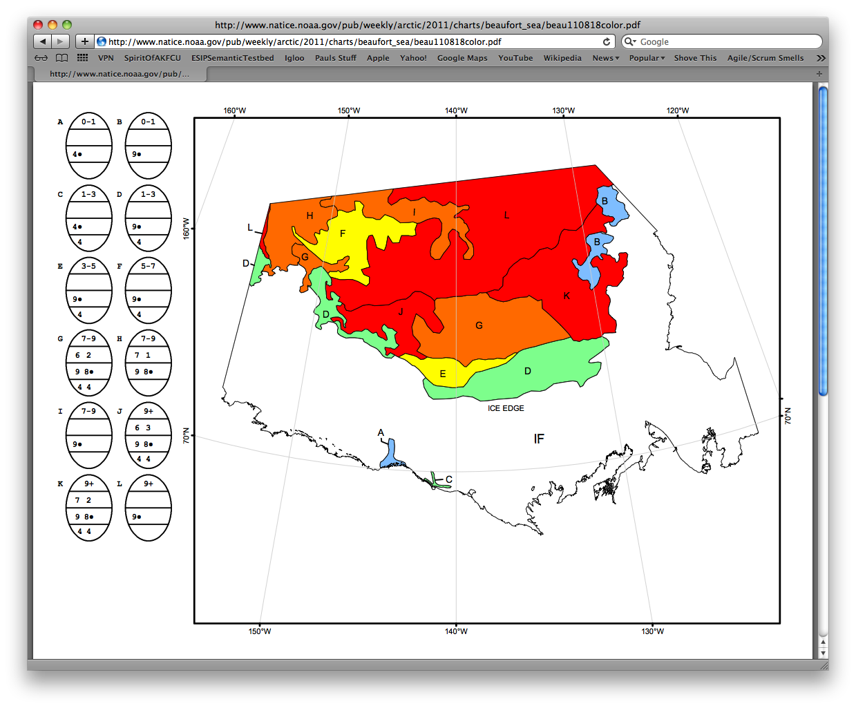
Example of an ice chart of the Beaufort sea from the National Ice Center
File history
Click on a date/time to view the file as it appeared at that time.
| Date/Time | Thumbnail | Dimensions | User | Comment | |
|---|---|---|---|---|---|
| current | 16:07, February 29, 2012 | | 1,239 × 1,025 (262 KB) | Rduerr (talk | contribs) | Example of an ice chart of the Beaufort sea from the National Ice Center |
You cannot overwrite this file.
File usage
The following page uses this file: